
We actually extracted ourselves from the deck project and went hiking – Saturday and Sunday this week!
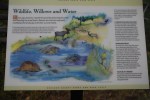
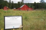
Destination: Caribou Ranch, Boulder County Open Space
Date: 7/21/2017
Time of Day: 10:30 am start
Distance/Elevation/Difficulty: 4.2 miles (DeLonde out and back + Bluebird loop)/~340 feet/Easy (DeLonde) & Moderate (Bluebird)
Time Elapsed: 120 minutes.
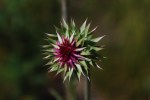
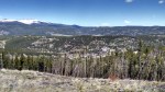
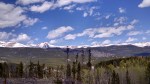
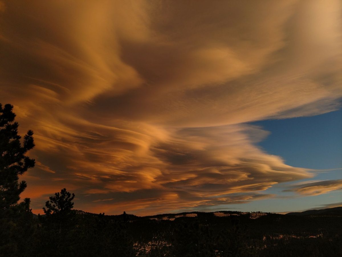
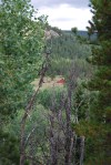
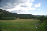
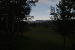
Comments: This is an enjoyable and easy hike with bucolic mountain pastures and stunning mountain vistas. The rain amplified the Ponderosa Pine aroma. It was easy to imagine cows and horses grazing in the mountain meadows. Just stunning.
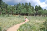
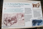
The DeLonde trail is rather easy trail. Narrow in some spots, but not excessively rocky and minimal tree roots. It passes through stands of Ponderosa pines and Aspen. About half of the DeLonde trail is on the old Switzerland (ran from Boulder to Ward) narrow gauge railway line and was quite wide and smooth. A pretty easy hike to the DeLonde homestead.
Read more about the Caribou Ranch recording studio. In the ’70s and ’80s some of the most famous albums in rock history were recorded nearby.
The Bluebird Loop from the DeLonde homestead is initially narrow and rocky. After the mine spur turn off, the trail opens up (likely due to the return to the narrow gauge railway bed) and is very easy to walk on.
Our herd of turtles start cost us during the hike. We got caught in a late morning rainstorm. Alex was a trooper and did about 2.5 miles of the entire hike. But the rain pushed him over the edge. As Jess was piggy backing him out the last 1.5 miles, he sounded like a little gremlin growling.
Caribou Ranch Gallery


Destination: Aspen Alley, West Magnolia Recreation area
Date: 7/22/2017
Time of Day: 10:30 am start
Distance/Elevation/Difficulty: 2.6 miles/462 feet/Easy
Time Elapsed: 60 minutes.
Comments: We last visited Aspen Alley over Mother’s Day. Since our last visit, the Aspens are in full leaf and the clear cut areas were full of wild flowers. This hike we found the right trail through Aspen Alley. We also remembered not to go down 926B, since it was a more difficult hike to get back to the car.

Aspen Alley Gallery