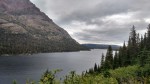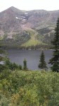
We learned that in Glacier National Park, the ‘crown of the continent’, there is a convergence of plants and animals from diverse environments. The ecosystems of the north (Canada), Maritime (Pacific Northwest), south (Southern Rocky Mountains), and east (prairie species) are found here, the narrowest point of the Rocky Mountain Chain. Water from the park flows to the Pacific Ocean (via the Columbia River), Hudson Bay (Saskatchewan and Nelson Rivers), and the Gulf of Mexico (Missouri and Mississippi Rivers); this convergence of watersheds also promotes the migration and dispersal of plants and animals. This environment is so diverse, all native carnivores – grizzly bears, black bears, wolves, and cougars – are able to survive. The abrupt transition from mountain forest to prairie supports a variety of herbivores – elk, deer, big-horn sheep, and mountain goats – which in turn allow the carnivores to survive.

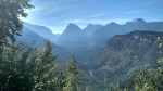
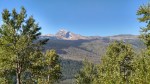
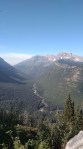
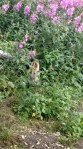
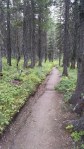
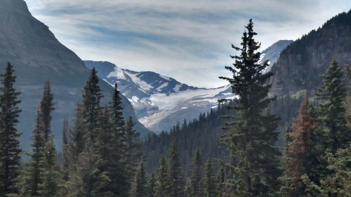
Going to the Sun Road (driven in a rental car because Abby was too long and tall) provided an excellent example of the diversity that abounds in the park. Starting from the Apgar campground on the west side, we moved through areas that were reminiscent of the Pacific Northwest, which was exemplified by the Trail of the Cedars (handicap accessible board walk/paved trail). Ferns, under towering cedars, dominated the forest floor. As we climbed to Logan Pass, grass became more dominant and wildflowers (Indian Paint brush, bear grass) were in full bloom. We even saw a mountain goat. Over the pass, we pushed on to St. Mary, and the cedars were replaced by dense stands of pine trees.
In the future, when Alex is older, we will take the shuttle. Many of the lots were full (the Logan Pass visitors center was like the mall parking lot at Christmas time), so if we wanted to hike we would not have been able to due to lack of parking.
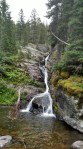
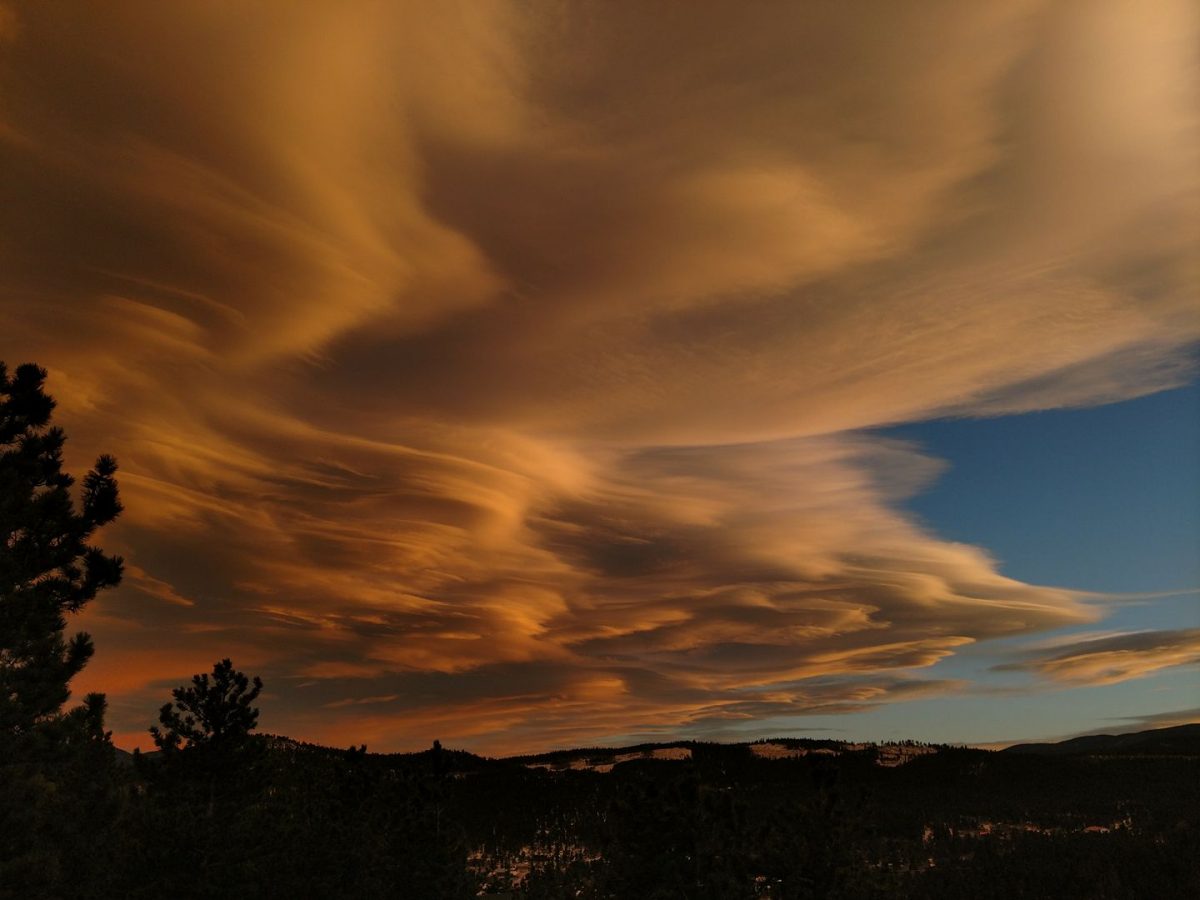
Click on the images below from our trip on Going to the Sun Road to enlarge the picture.